


40 km | 46 km-effort


User


FREE GPS app for hiking
 SityTrail
IGN / Geographical institutes
SityTrail World
The world is yours!
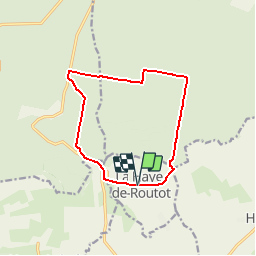
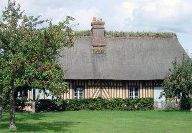
Trail Walking of 11 km to be discovered at Normandy, Eure, La Haye-de-Routot. This trail is proposed by randovivi.
Départ des ifs direction Manoir de Fréville passage dans la forêt de la petite Houssaye et retour à la Haye de Routot en passant par la Maison Forestière de la Petite Houssaye

Mountain bike
Walking
Walking

Equestrian

Equestrian

Walking
Mountain bike
Walking
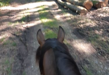
Horseback riding
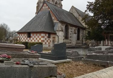
quelques anomalies dans le parcours mais belle rando